#279 Sightings of Marsh Thistle - Cirsium palustre (L.) Scop.
This web page was created on Saturday July 2nd 2022 at 08:19:46.
It is from the website www.barrycornelius.co.uk/wildflowers
Click on a photo if you wish to see a larger version of the photo.
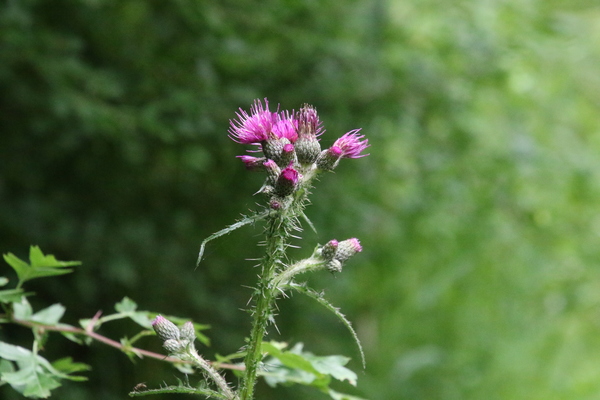
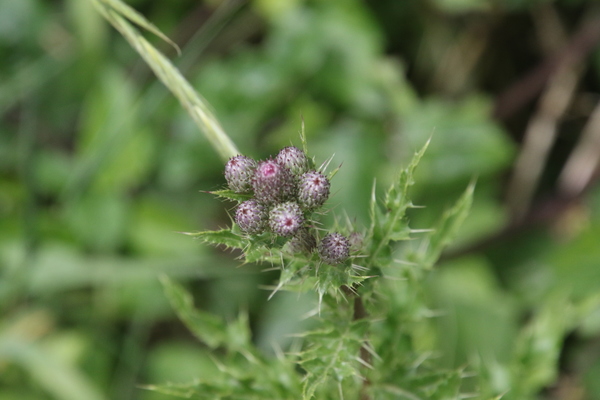
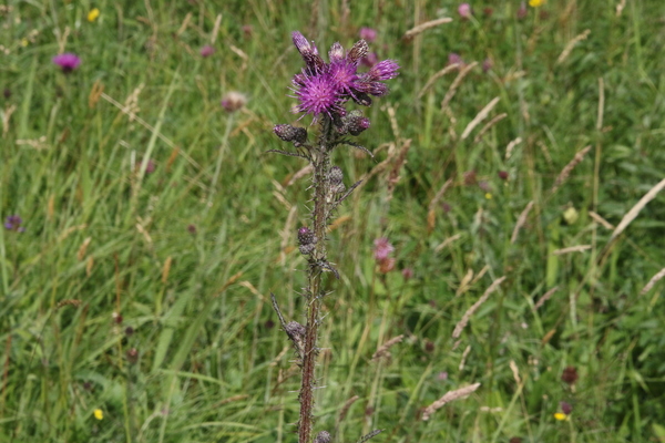
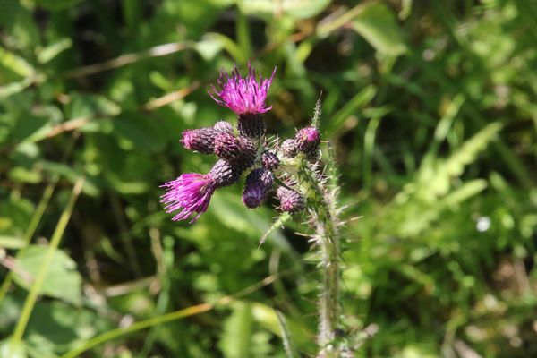
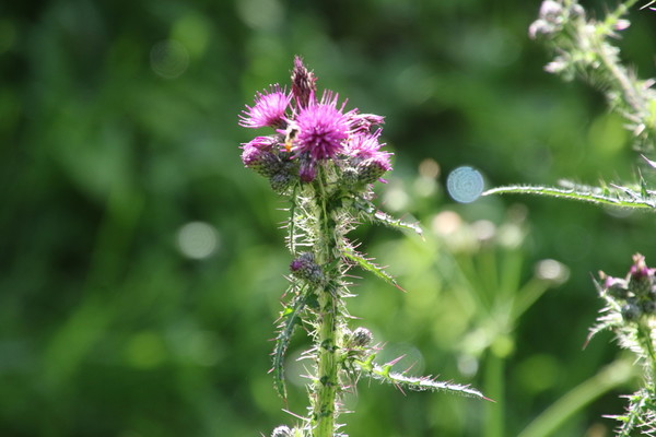
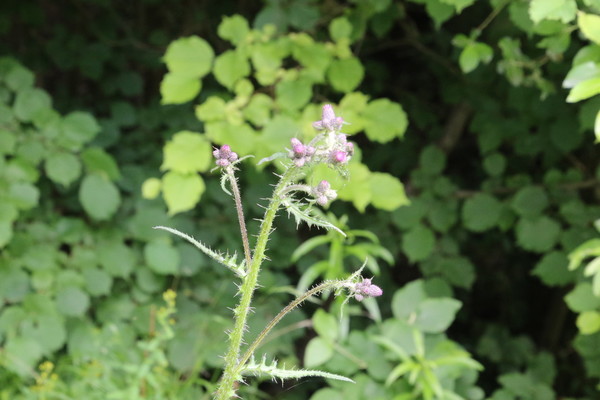
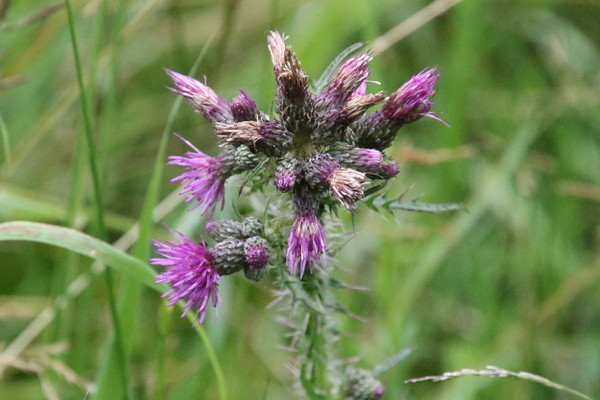
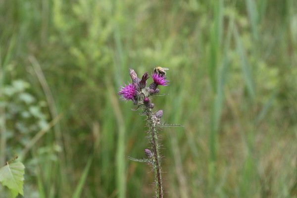
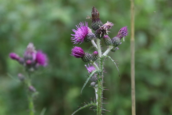
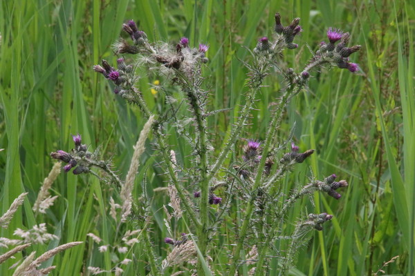
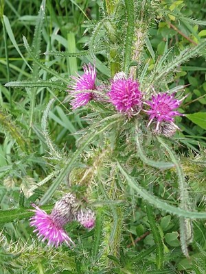
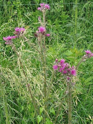
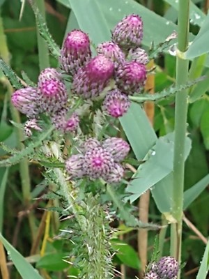
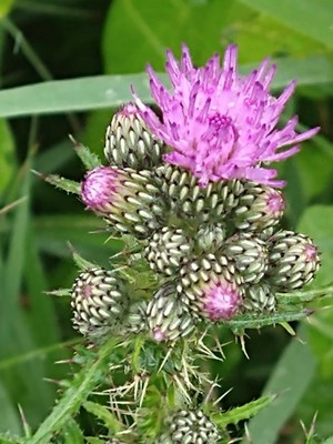
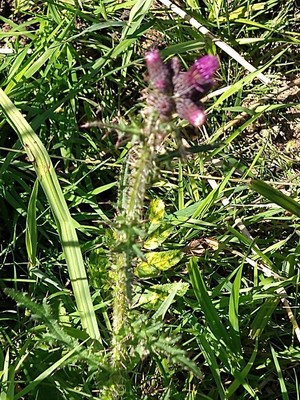
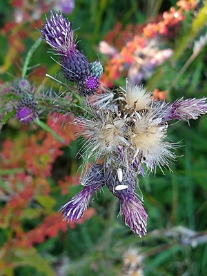
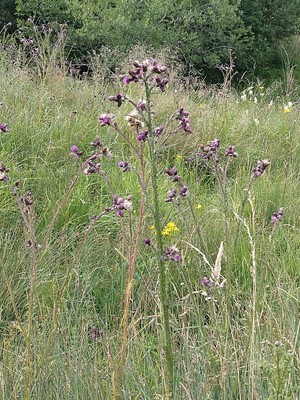
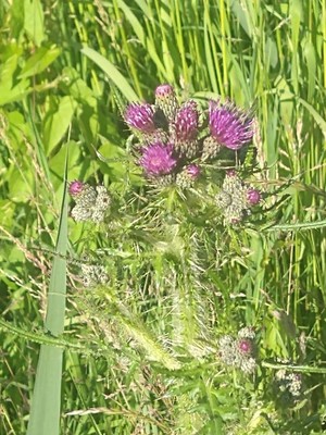
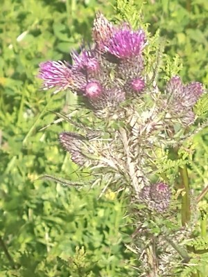
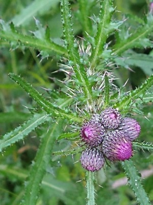
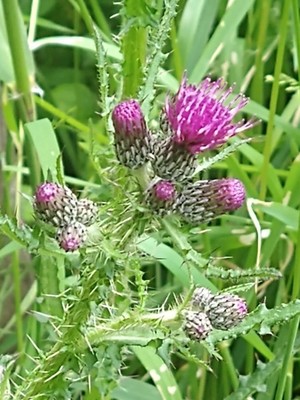
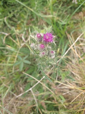
#1 Marsh Thistle
Cirsium_palustre_(L.)_Scop.
2022-07-02 11:08:10
51.707282,-1.325660 map
at Lashford Lane Fen
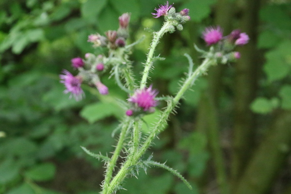
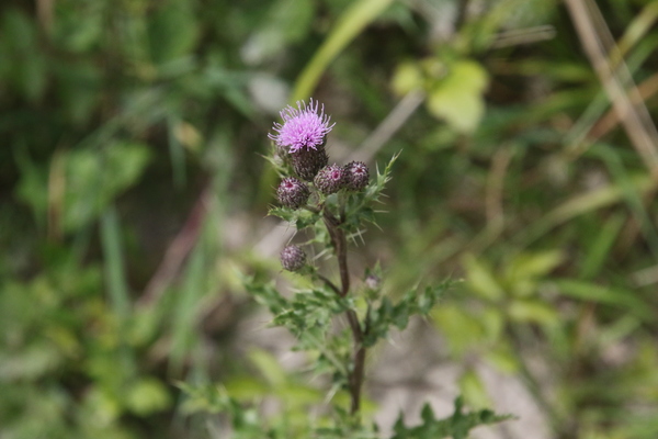
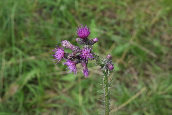
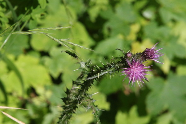
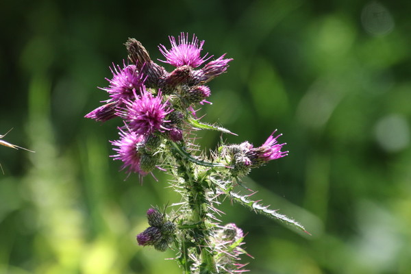
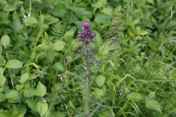
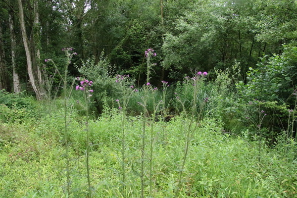
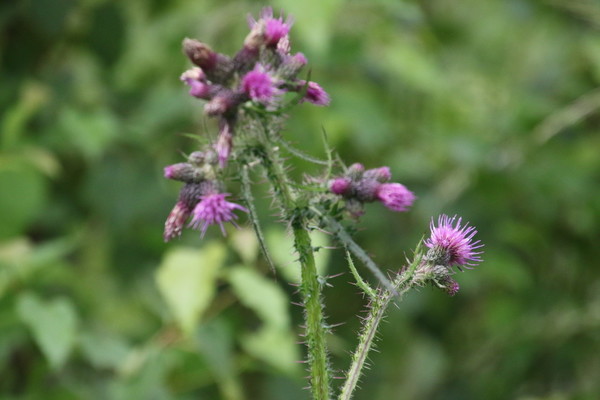
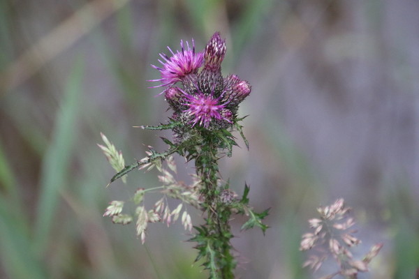
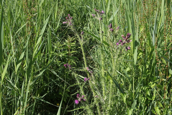
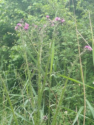
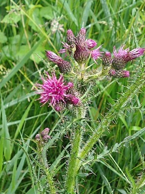
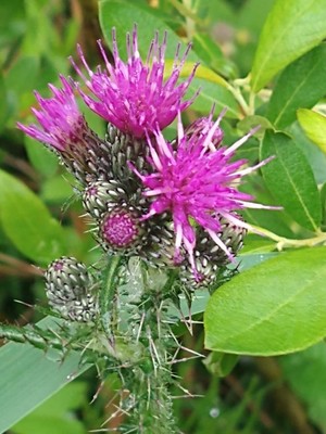
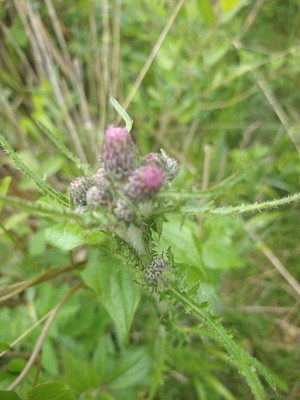
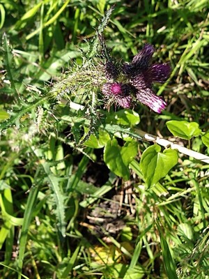
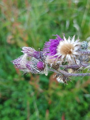
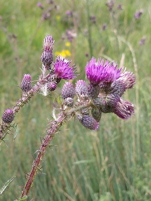
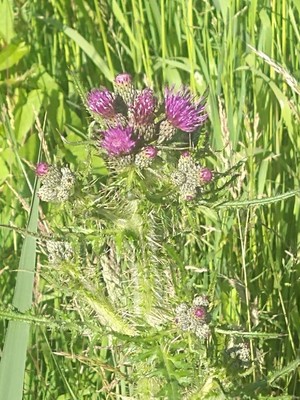
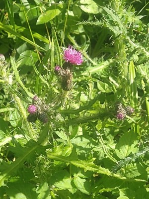
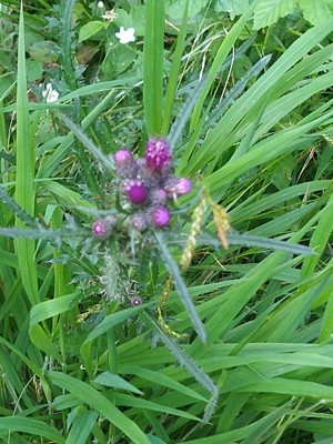
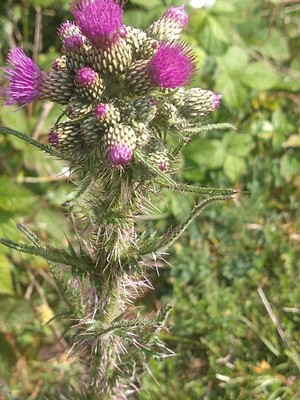
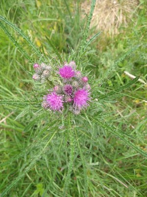
#2 Marsh Thistle
Cirsium_palustre_(L.)_Scop.
2022-07-02 11:08:00
51.707322,-1.325768 map
at Lashford Lane Fen
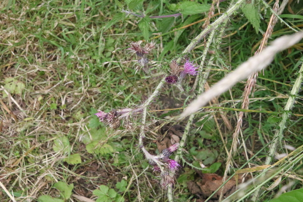
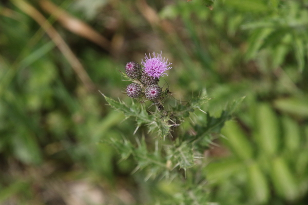
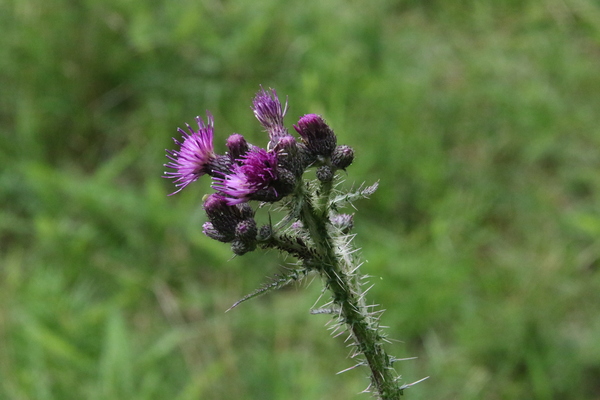
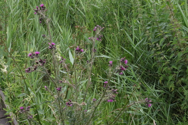
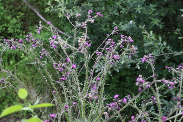
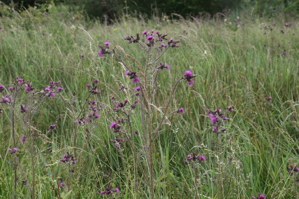
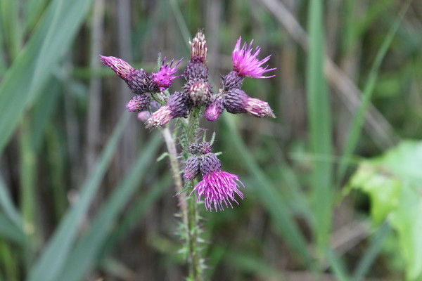
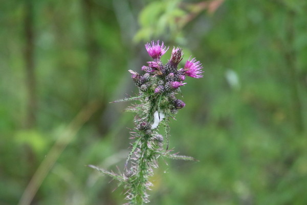
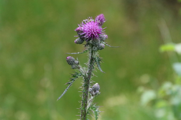
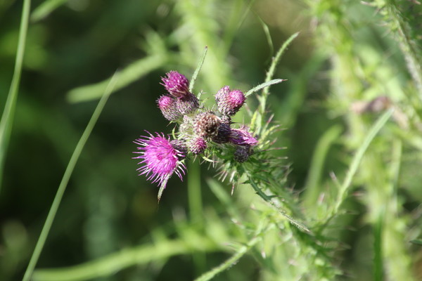
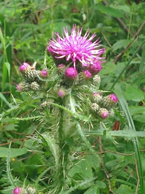
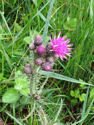
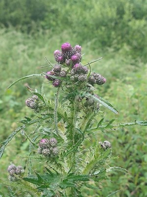
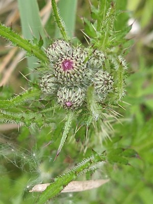
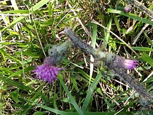
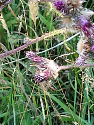
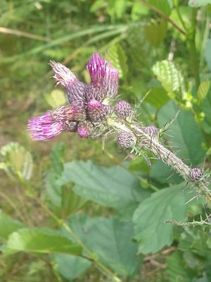
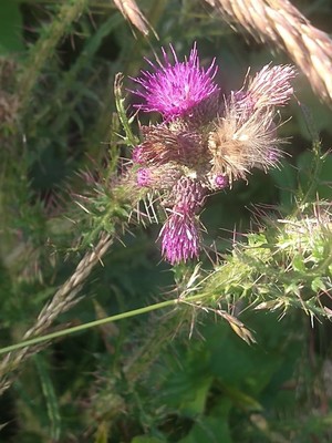
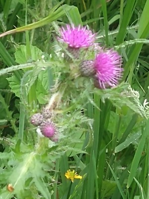
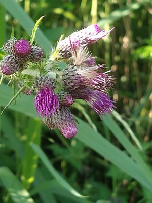
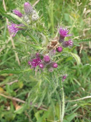
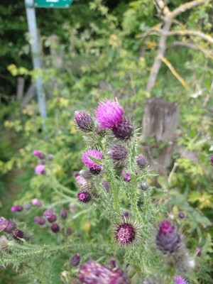
#3 Marsh Thistle
Cirsium_palustre_(L.)_Scop.
2022-07-02 10:43:21
51.708778,-1.323533 map
at Lashford Lane Fen
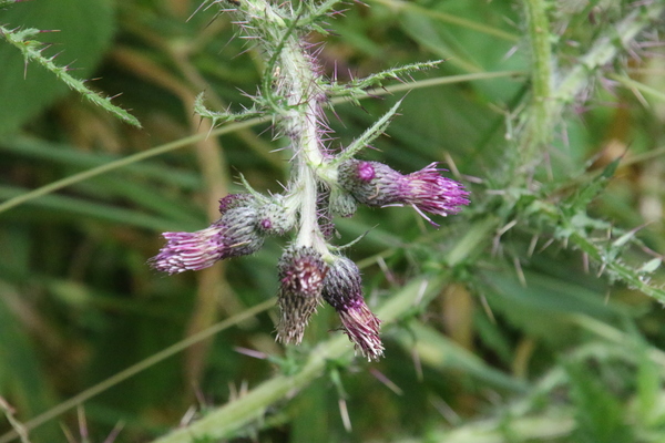
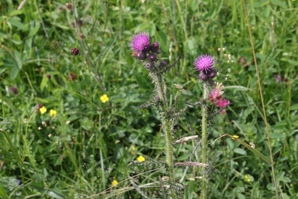
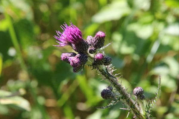
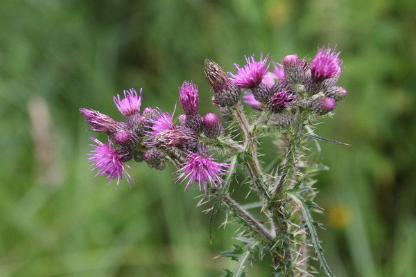
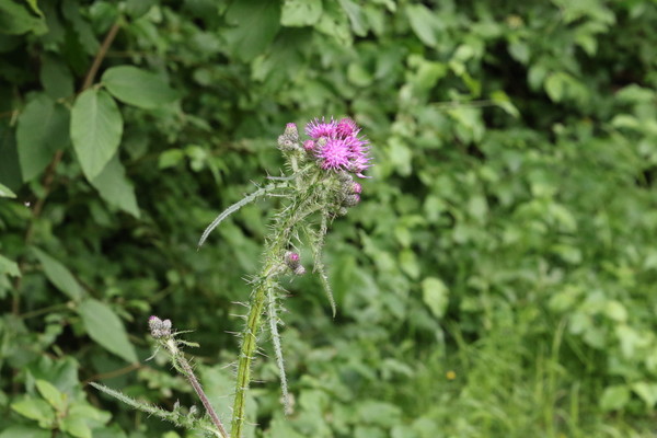
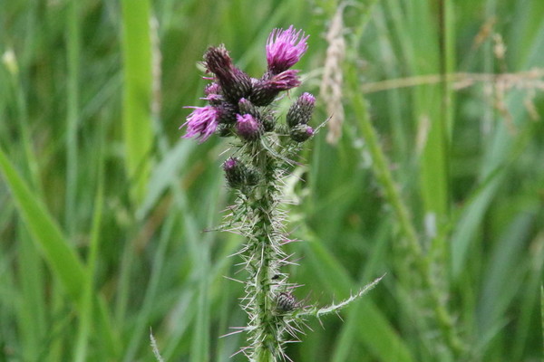
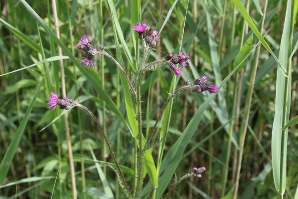
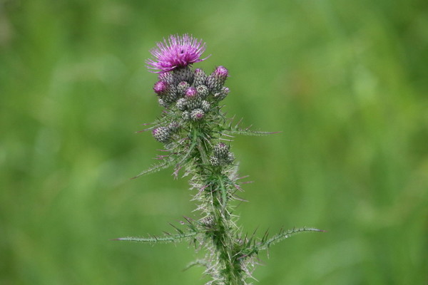
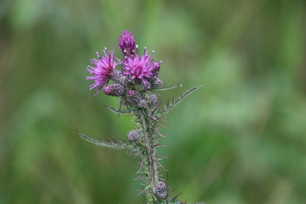
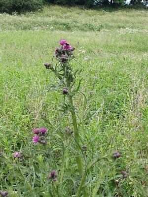
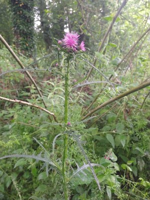
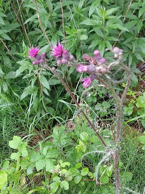
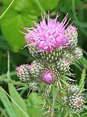
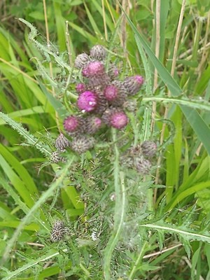
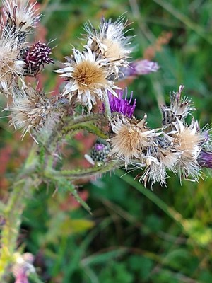
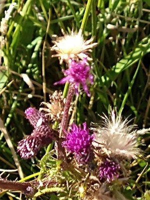
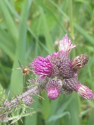
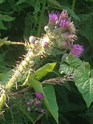
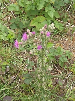
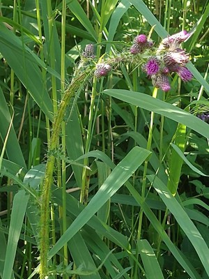
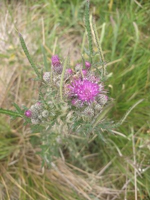
#4 Marsh Thistle
Cirsium_palustre_(L.)_Scop.
2022-07-02 10:42:57
51.708733,-1.323433 map
at Lashford Lane Fen
#5 Marsh Thistle
Cirsium_palustre_(L.)_Scop.
2022-06-29 12:33:34
51.695035,-0.902322 map
at or near Oakley Hill
#6 Marsh Thistle
Cirsium_palustre_(L.)_Scop.
2022-06-29 12:33:22
51.695035,-0.902322 map
at or near Oakley Hill
#7 Marsh Thistle
Cirsium_palustre_(L.)_Scop.
2022-06-29 12:33:18
51.695105,-0.902313 map
at or near Oakley Hill
#8 Marsh Thistle
Cirsium_palustre_(L.)_Coss._ex_Scop.
2022-06-28 10:39:16
51.856473,-1.192618 map
at or near Woodsides Meadow
#9 Marsh Thistle
Cirsium_palustre_(L.)_Coss._ex_Scop.
2022-06-28 10:38:49
51.856473,-1.192618 map
at or near Woodsides Meadow
#10 Marsh Thistle
Cirsium_palustre_(L.)_Scop.
2022-06-24 14:14:32
51.694178,-1.334542 map
at or near Parsonage Moor
#11 Marsh Thistle
Cirsium_palustre_(L.)_Scop.
2022-06-24 14:14:22
51.694178,-1.334542 map
at or near Parsonage Moor

#12 Marsh Thistle
Cirsium_palustre_(L.)_Scop.
2022-06-22 15:25:15
51.692741,-1.323985 map
at Dry Sandford Pit
#13 Marsh Thistle
Cirsium_palustre_(L.)_Scop.
2022-06-22 15:24:48
51.692788,-1.323901 map
at Dry Sandford Pit
#14 Marsh Thistle
Cirsium_palustre_(L.)_Scop.
2022-06-22 15:24:42
51.692788,-1.323901 map
at Dry Sandford Pit
#15 Marsh Thistle
Cirsium_palustre_(L.)_Coss._ex_Scop.
2021-07-16 09:48:28
51.586131,-0.967758 map
at Warburg
#16 Marsh Thistle
Cirsium_palustre_(L.)_Scop.
2021-07-05 10:21:04
51.748026,-1.208693 map
in Lye Valley
#17 Marsh Thistle
Cirsium_palustre_(L.)_Scop.
2021-07-05 10:20:51
51.748005,-1.208668 map
in Lye Valley
#18 Marsh Thistle
Cirsium_palustre_(L.)_Scop.
2021-07-05 09:59:22
51.749928,-1.206355 map
in Lye Valley
#19 Marsh Thistle
Cirsium_palustre_(L.)_Coss._ex_Scop.
2021-07-05 09:59:19
51.749951,-1.20635 map
in Lye Valley
#20 Marsh Thistle
Cirsium_palustre_(L.)_Scop.
2021-07-04 13:31:03
51.940503,-1.220248 map
at or near Ardley
#21 Marsh Thistle
Cirsium_palustre_(L.)_Scop.
2021-07-04 13:28:20
51.94034,-1.220346 map
at or near Ardley
#22 Marsh Thistle
Cirsium_palustre_(L.)_Scop.
2021-07-04 13:28:11
51.94034,-1.220346 map
at or near Ardley
#23 Marsh Thistle
Cirsium_palustre_(L.)_Scop.
2021-07-04 13:27:58
51.940105,-1.220093 map
at or near Ardley
#24 Marsh Thistle
Cirsium_palustre_(L.)_Scop.
2021-07-04 10:28:05
51.695066,-1.334863 map
at or near Parsonage Moor
#25 Marsh Thistle
Cirsium_palustre_(L.)_Scop.
2021-07-04 10:15:57
51.693843,-1.334204 map
at or near Parsonage Moor
#26 Marsh Thistle
Cirsium_palustre_(L.)_Scop.
2021-07-04 10:15:48
51.693843,-1.334204 map
at or near Parsonage Moor
#27 Marsh Thistle
Cirsium_palustre_(L.)_Scop.
2021-07-04 09:52:33
51.692996,-1.33595 map
at or near Cothill NNR

#28 Marsh Thistle
Cirsium_palustre_(L.)_Scop.
2021-07-04 09:52:27
51.692996,-1.33595 map
at or near Cothill NNR

#29 Marsh Thistle
Cirsium_palustre_(L.)_Scop.
2021-07-04 09:50:00
51.692881,-1.335926 map
at or near Cothill NNR
#30 Marsh Thistle
Cirsium_palustre_(L.)_Scop.
2021-07-03 15:54:15
51.692701,-1.323943 map
at Dry Sandford Pit
#31 Marsh Thistle
Cirsium_palustre_(L.)_Scop.
2021-07-03 15:41:14
51.693235,-1.324071 map
at Dry Sandford Pit
#32 Marsh Thistle
Cirsium_palustre_(L.)_Scop.
2021-07-03 15:36:38
51.69332,-1.324053 map
at Dry Sandford Pit
#33 Marsh Thistle
Cirsium_palustre_(L.)_Scop.
2021-07-03 15:34:23
51.693353,-1.324088 map
at Dry Sandford Pit
#34 Marsh Thistle
Cirsium_palustre_(L.)_Scop.
2021-06-28 13:32:49
51.689006,-0.907676 map
at or near Oakley Hill
#35 Marsh Thistle
Cirsium_palustre_(L.)_Scop.
2021-06-28 13:26:03
51.68846,-0.90905 map
at or near Oakley Hill
#36 Marsh Thistle
Cirsium_palustre_(L.)_Scop.
2021-06-27 13:48:42
51.692706,-1.323933 map
at Dry Sandford Pit
#37 Marsh Thistle
Cirsium_palustre_(L.)_Scop.
2021-06-27 13:38:37
51.693055,-1.323926 map
at Dry Sandford Pit
#38 Marsh Thistle
Cirsium_palustre_(L.)_Scop.
2021-06-27 13:35:55
51.693455,-1.324046 map
at Dry Sandford Pit
#39 Marsh Thistle
Cirsium_palustre_(L.)_Scop.
2021-06-27 13:35:15
51.693455,-1.324046 map
at Dry Sandford Pit
#40 Marsh Thistle
Cirsium_palustre_(L.)_Scop.
2021-06-25 16:34:40
near to 51.678096,-1.260562 map
at Abbey Fishponds
#41 Marsh Thistle
Cirsium_palustre_(L.)_Scop.
2021-06-25 16:19:26
near to 51.678096,-1.260562 map
at Abbey Fishponds
#42 Marsh Thistle
Cirsium_palustre_(L.)_Scop.
2021-06-25 16:19:22
near to 51.678096,-1.260562 map
at Abbey Fishponds
#43 Marsh Thistle
Cirsium_palustre_(L.)_Scop.
2021-06-22 11:39:31
51.606800,-1.655476 map
at or near Tuckmill Meadow
#44 Marsh Thistle
Cirsium_palustre_(L.)_Scop.
2021-06-22 11:39:13
51.606954,-1.655549 map
at or near Tuckmill Meadow
#45 Marsh Thistle
Cirsium_palustre_(L.)_Scop.
2021-06-20 12:11:31
51.706977,-1.324907 map
at Lashford Lane Fen
#46 Marsh Thistle
Cirsium_palustre_(L.)_Scop.
2021-06-20 12:08:46
51.707799,-1.325236 map
at Lashford Lane Fen
#47 Marsh Thistle
Cirsium_palustre_(L.)_Scop.
2021-06-20 12:04:41
51.708708,-1.323456 map
at Lashford Lane Fen
#48 Marsh Thistle
Cirsium_palustre_(L.)_Scop.
2021-06-20 11:08:08
51.696166,-1.334460 map
at or near Parsonage Moor
#49 Marsh Thistle
Cirsium_palustre_(L.)_Scop.
2021-06-20 10:43:53
51.694789,-1.334668 map
at or near Parsonage Moor
#50 Marsh Thistle
Cirsium_palustre_(L.)_Scop.
2021-06-20 10:43:39
51.694728,-1.334786 map
at or near Parsonage Moor

#51 Marsh Thistle
Cirsium_palustre_(L.)_Scop.
2021-06-20 09:49:00
51.692625,-1.323758 map
at Dry Sandford Pit
#52 Marsh Thistle
Cirsium_palustre_(L.)_Scop.
2021-06-20 09:48:31
51.692609,-1.323792 map
at Dry Sandford Pit
#53 Marsh Thistle
Cirsium_palustre_(L.)_Scop.
2021-06-20 09:35:35
51.693252,-1.324144 map
at Dry Sandford Pit
#54 Marsh Thistle
Cirsium_palustre_(L.)_Scop.
2021-06-20 09:34:13
51.693309,-1.323960 map
at Dry Sandford Pit
#55 Marsh Thistle
Cirsium_palustre_(L.)_Scop.
2021-06-18 15:21:15
51.678578,-1.261279 map
in Abbey Fishponds
#56 Marsh Thistle
Cirsium_palustre_(L.)_Scop.
2021-06-18 15:17:43
51.678857,-1.261406 map
in Abbey Fishponds
#57 Marsh Thistle
Cirsium_palustre_(L.)_Scop.
2021-06-18 15:16:01
51.678917,-1.261444 map
in Abbey Fishponds
#58 Marsh Thistle
Cirsium_palustre_(L.)_Scop.
2021-06-04 10:39:25
51.692957,-1.323801 map
at Dry Sandford Pit
#59 Marsh Thistle
Cirsium_palustre_(L.)_Scop.
2021-06-04 10:38:44
51.693087,-1.323695 map
at Dry Sandford Pit
#60 Marsh Thistle
Cirsium_palustre_(L.)_Scop.
2021-06-04 10:38:28
51.693087,-1.323695 map
at Dry Sandford Pit
#61 Marsh Thistle
Cirsium_palustre_(L.)_Scop.
2020-07-31 11:12:04
51.695969,-1.334551 map
at or near Parsonage Moor
#62 Marsh Thistle
Cirsium_palustre_(L.)_Scop.
2020-07-31 11:12:00
51.695969,-1.334551 map
at or near Parsonage Moor

#63 Marsh Thistle
Cirsium_palustre_(L.)_Scop.
2020-07-31 11:05:43
51.696129,-1.334624 map
at or near Parsonage Moor
#64 Marsh Thistle
Cirsium_palustre_(L.)_Scop.
2020-07-31 11:05:27
51.696129,-1.334624 map
at or near Parsonage Moor
#65 Marsh Thistle
Cirsium_palustre_(L.)_Scop.
2020-07-30 16:54:20
51.383378,-1.376657 map
at Avery's Pightle
#66 Marsh Thistle
Cirsium_palustre_(L.)_Scop.
2020-07-30 16:54:15
51.383378,-1.376657 map
at Avery's Pightle
#67 Marsh Thistle
Cirsium_palustre_(L.)_Scop.
2020-07-30 16:53:33
51.383378,-1.376657 map
at Avery's Pightle
#68 Marsh Thistle
Cirsium_palustre_(L.)_Scop.
2020-07-30 16:47:50
51.383556,-1.376606 map
at Avery's Pightle
#69 Marsh Thistle
Cirsium_palustre_(L.)_Scop.
2020-07-30 16:41:18
51.383798,-1.375544 map
at Avery's Pightle

#70 Marsh Thistle
Cirsium_palustre_(L.)_Scop.
2020-07-30 16:40:35
51.383741,-1.375353 map
at Avery's Pightle
#71 Marsh Thistle
Cirsium_palustre_(L.)_Scop.
2020-07-21 15:19:22
51.514724,-1.806337 map
at Markham Banks
#72 Marsh Thistle
Cirsium_palustre_(L.)_Scop.
2020-07-21 15:19:16
51.514724,-1.806337 map
at Markham Banks
#73 Marsh Thistle
Cirsium_palustre_(L.)_Scop.
2020-07-11 10:30:25
51.692661,-1.323766 map
at Dry Sandford Pit
#74 Marsh Thistle
Cirsium_palustre_(L.)_Scop.
2020-07-11 10:30:16
51.692661,-1.323766 map
at Dry Sandford Pit
#75 Marsh Thistle
Cirsium_palustre_(L.)_Scop.
2020-06-21 17:04:27
51.74918,-1.207181 map
in Lye Valley
#76 Marsh Thistle
Cirsium_palustre_(L.)_Scop.
2020-06-21 17:04:26
51.74918,-1.207181 map
in Lye Valley
#77 Marsh Thistle
Cirsium_palustre_(L.)_Scop.
2020-06-21 16:59:36
51.749152,-1.207570 map
in Lye Valley
#78 Marsh Thistle
Cirsium_palustre_(L.)_Scop.
2020-06-21 16:59:10
51.749152,-1.207570 map
in Lye Valley
#79 Marsh Thistle
Cirsium_palustre_(L.)_Scop.
2020-06-21 16:40:44
51.747891,-1.208841 map
in Lye Valley
#80 Marsh Thistle
Cirsium_palustre_(L.)_Scop.
2020-06-21 16:20:05
51.746758,-1.209187 map
in Lye Valley
#81 Marsh Thistle
Cirsium_palustre_(L.)_Scop.
2020-06-17 10:19:06
51.607903,-1.654005 map
at Tuckmill Meadow
#82 Marsh Thistle
Cirsium_palustre_(L.)_Scop.
2020-06-16 12:24:43
51.699931,-0.891091 map
at Chinnor Hill
#83 Marsh Thistle
Cirsium_palustre_(L.)_Scop.
2020-06-14 17:03:01
51.707510,-1.326289 map
at Lashford Lane Fen
#84 Marsh Thistle
Cirsium_palustre_(L.)_Scop.
2020-06-14 17:02:50
51.707510,-1.326289 map
at Lashford Lane Fen
#85 Marsh Thistle
Cirsium_palustre_(L.)_Scop.
2020-06-14 16:48:23
51.707675,-1.32498 map
at Lashford Lane Fen
#86 Marsh Thistle
Cirsium_palustre_(L.)_Scop.
2020-06-14 16:47:34
51.707726,-1.325037 map
at Lashford Lane Fen
#87 Marsh Thistle
Cirsium_palustre_(L.)_Scop.
2020-06-14 16:32:16
51.708728,-1.32332 map
at Lashford Lane Fen
#88 Marsh Thistle
Cirsium_palustre_(L.)_Scop.
2020-06-11 16:28:38
51.636223,-0.985180 map
at Watlington Hill
#89 Marsh Thistle
Cirsium_palustre_(L.)_Scop.
2020-06-06 11:43:42
51.874777,-1.086155 map
on the E side of Blackthorn
#90 Marsh Thistle
Cirsium_palustre_(L.)_Scop.
2020-06-06 11:40:08
51.873960,-1.086409 map
on the E side of Blackthorn
#91 Marsh Thistle
Cirsium_palustre_(L.)_Scop.
2020-06-06 11:38:13
51.873503,-1.086652 map
on the E side of Blackthorn
#92 Marsh Thistle
Cirsium_palustre_(L.)_Scop.
2020-06-03 12:21:41
51.892678,-1.127176 map
to the S of Launton
#93 Marsh Thistle
Cirsium_palustre_(L.)_Scop.
2020-05-13 11:50:58
51.894451,-1.208744 map
to the SE of Middleton Stoney