#113 Sightings of Curled Dock - Rumex crispus L.
This web page was created on Saturday June 12th 2021 at 18:52:28.
It is from the website www.barrycornelius.co.uk/wildflowers
Click on a photo if you wish to see a larger version of the photo.
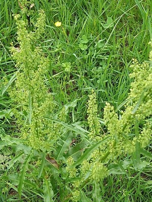
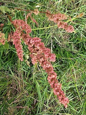
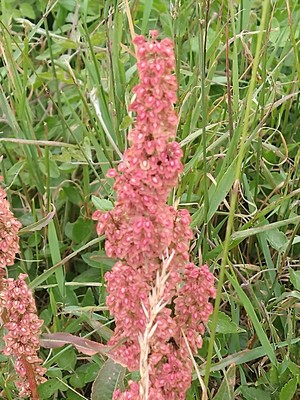
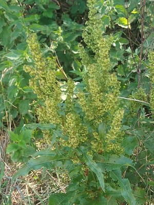
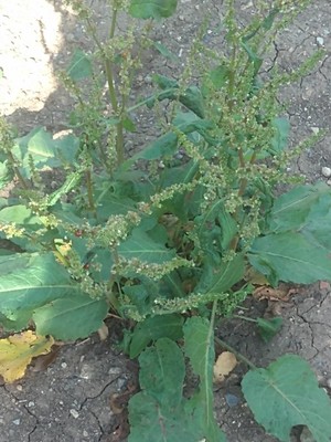
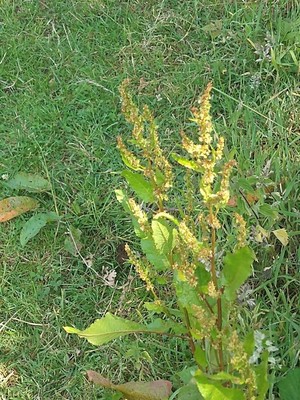
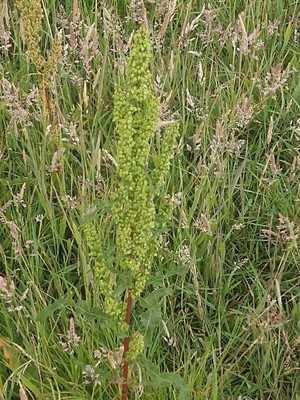
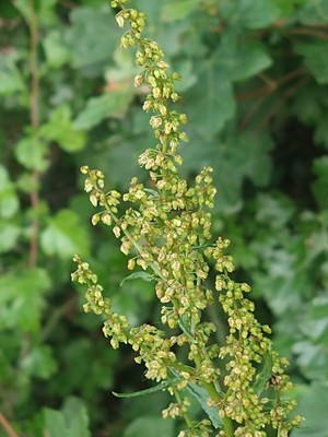
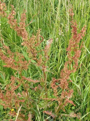
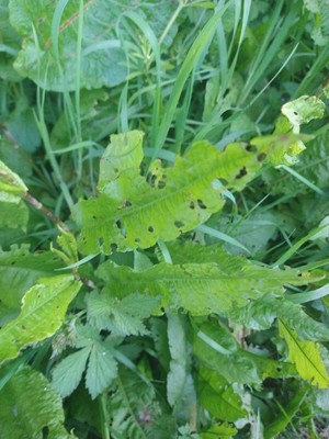
#1 Curled Dock
Rumex_crispus_L.
2021-06-12 11:32:18
51.788196,-1.512475 map
at Deer Park Wood
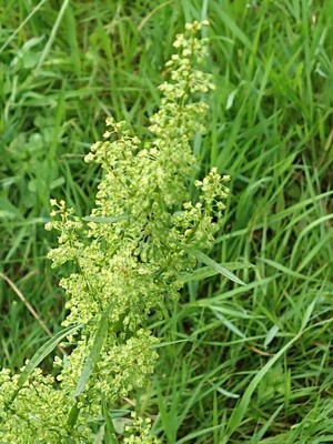
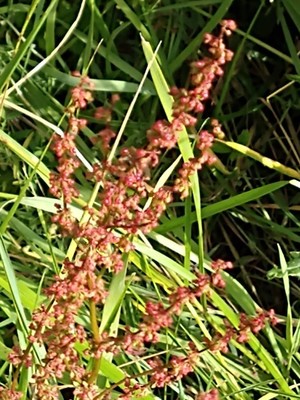
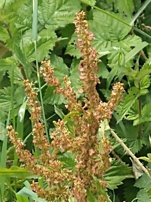
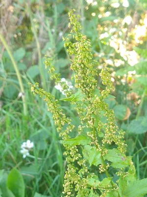
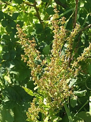
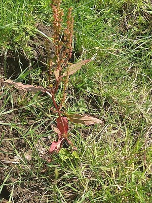
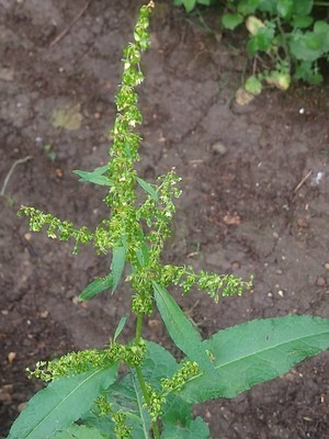
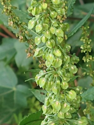
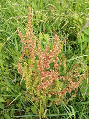
#2 Curled Dock
Rumex_crispus_L.
2021-06-12 11:32:12
51.788196,-1.512475 map
at Deer Park Wood
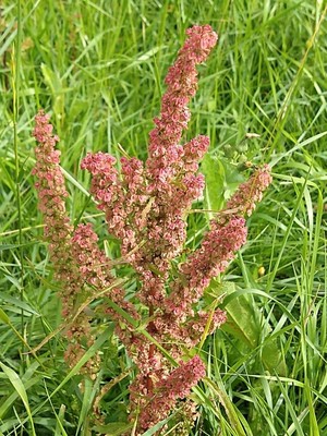
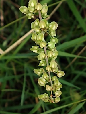
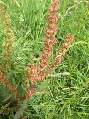
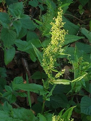
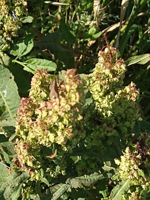
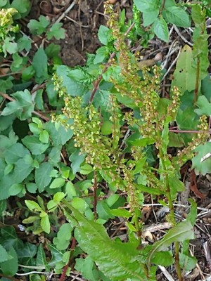
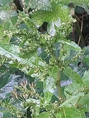
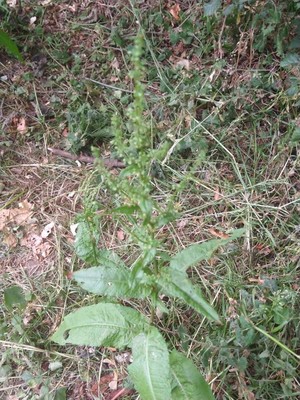
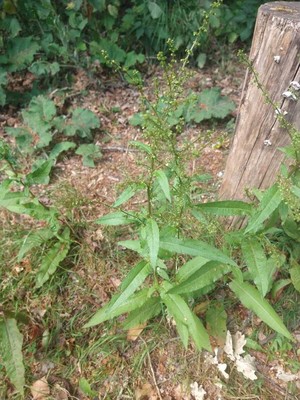
#3 Curled Dock
Rumex_crispus_L.
2020-07-13 10:16:29
51.795189,-1.122686 map
at Bernwood Meadows
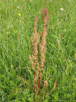
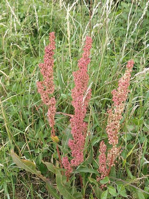
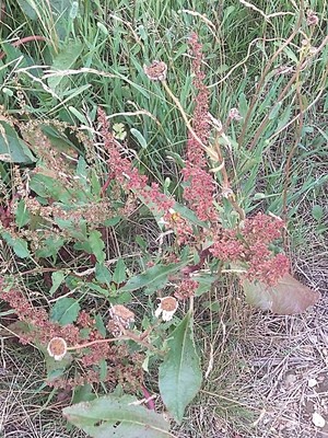
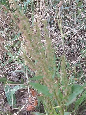
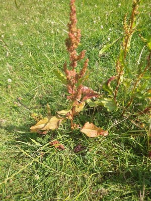
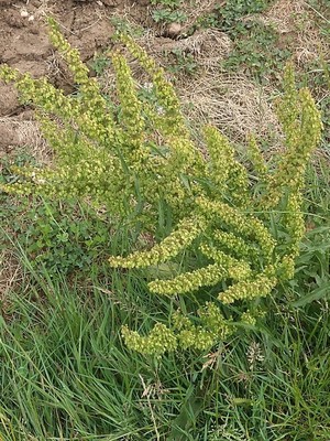
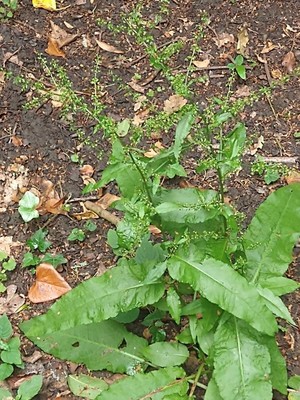
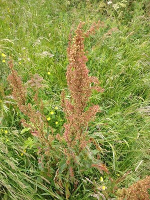
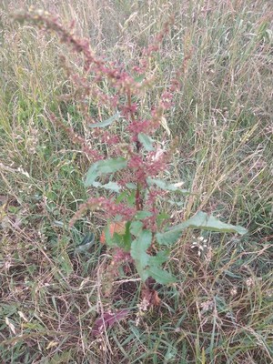
#4 Curled Dock
Rumex_crispus_L.
2020-07-13 10:16:10
51.795085,-1.122470 map
at Bernwood Meadows
#5 Curled Dock
Rumex_crispus_L.
2020-07-13 10:14:50
51.794561,-1.122991 map
at Bernwood Meadows
#6 Curled Dock
Rumex_crispus_L.
2020-07-13 09:50:23
51.793131,-1.120705 map
at Bernwood Meadows
#7 Curled Dock
Rumex_crispus_L.
2020-07-13 09:47:39
51.792825,-1.120457 map
at Bernwood Meadows
#8 Curled Dock
Rumex_crispus_L.
2020-07-03 11:09:05
51.848801,-1.313131 map
in or near Shipton-on-Cherwell
#9 Curled Dock
Rumex_crispus_L.
2020-07-03 11:08:43
51.848801,-1.313131 map
in or near Shipton-on-Cherwell
#10 Curled Dock
Rumex_crispus_L.
2020-06-29 11:49:06
51.773921,-1.426249 map
between the A40 and South Leigh
#11 Curled Dock
Rumex_crispus_L.
2020-06-27 14:02:22
51.594974,-1.274286 map
between Zulu Farm and West Hagbourne
#12 Curled Dock
Rumex_crispus_L.
2020-06-27 13:45:46
51.599139,-1.277904 map
between Zulu Farm and West Hagbourne
#13 Curled Dock
Rumex_crispus_L.
2020-06-26 10:55:39
near to 51.833287,-1.347595 map
between the A44 and Bladon
#14 Curled Dock
Rumex_crispus_L.
2020-06-26 10:54:41
near to 51.833287,-1.347595 map
between the A44 and Bladon
#15 Curled Dock
Rumex_crispus_L.
2020-06-26 09:42:38
near to 51.833287,-1.347595 map
between the A44 and Bladon
#16 Curled Dock
Rumex_crispus_L.
2020-06-26 09:06:45
near to 51.833287,-1.347595 map
between the A44 and Bladon
#17 Curled Dock
Rumex_crispus_L.
2020-06-26 09:06:04
near to 51.833287,-1.347595 map
between the A44 and Bladon
#18 Curled Dock
Rumex_crispus_L.
2020-06-25 10:05:48
51.762760,-1.164665 map
between Sandhills and Forest Hill
#19 Curled Dock
Rumex_crispus_L.
2020-06-25 09:46:54
51.765582,-1.156625 map
between Sandhills and Forest Hill
#20 Curled Dock
Rumex_crispus_L.
2020-06-24 11:10:52
51.754648,-1.161895 map
between the A40 and Shotover
#21 Curled Dock
Rumex_crispus_L.
2020-06-24 11:10:02
51.754649,-1.162029 map
between the A40 and Shotover
#22 Curled Dock
Rumex_crispus_L.
2020-06-24 11:08:25
51.755605,-1.162090 map
between the A40 and Shotover
#23 Curled Dock
Rumex_crispus_L.
2020-06-23 10:56:32
51.837949,-1.491786 map
in or near Finstock
#24 Curled Dock
Rumex_crispus_L.
2020-06-21 12:06:47
51.838788,-1.476804 map
in or near Finstock

#25 Curled Dock
Rumex_crispus_L.
2020-06-21 12:03:50
51.838171,-1.474628 map
in or near Finstock
#26 Curled Dock
Rumex_crispus_L.
2020-06-21 12:03:03
51.838214,-1.474766 map
in or near Finstock
#27 Curled Dock
Rumex_crispus_L.
2020-06-21 10:54:37
51.844563,-1.471591 map
in or near Finstock
#28 Curled Dock
Rumex_crispus_L.
2020-06-19 09:12:30
51.676057,-1.259195 map
at or near Abbey Fishponds
#29 Curled Dock
Rumex_crispus_L.
2020-06-16 12:53:10
51.696271,-0.893055 map
at Chinnor Hill
#30 Curled Dock
Rumex_crispus_L.
2020-06-16 10:01:33
51.843406,-1.311242 map
on The Straight Mile near Shipton-on-Cherwell
#31 Curled Dock
Rumex_crispus_L.
2020-06-16 10:00:58
51.843403,-1.311325 map
on The Straight Mile near Shipton-on-Cherwell
#32 Curled Dock
Rumex_crispus_L.
2020-06-13 16:47:51
51.694670,-1.347933 map
at or near Hitchcopse Pit
#33 Curled Dock
Rumex_crispus_L.
2020-06-12 10:06:16
51.791643,-1.307344 map
at Oxey Mead
#34 Curled Dock
Rumex_crispus_L.
2020-06-12 10:05:40
51.791612,-1.307312 map
at Oxey Mead
#35 Curled Dock
Rumex_crispus_L.
2020-06-12 09:56:31
51.791412,-1.307814 map
at Oxey Mead
#36 Curled Dock
Rumex_crispus_L.
2020-06-11 17:04:18
51.636454,-0.975976 map
at Watlington Hill
#37 Curled Dock
Rumex_crispus_L.
2020-06-11 10:41:24
51.905873,-1.416445 map
to the S of Radford Bridge
#38 Curled Dock
Rumex_crispus_L.
2020-05-15 10:03:48
51.909800,-1.219391 map
to the NE of Middleton Stoney